JVK's Trips To McCleary, WA

SeriouslySearching

Well-Known Member
Joined
Jan 19, 2007
Messages
35,527
Reaction score
245
One of our fabulous posters has been going to McCleary and putting boots on the ground! The stories and excellent photos can be found here!!

Thanks, JVK!!!!
 
Originally posted by JVK:

Hi all, new user here. I'm in Olympia (25mi east of McCleary)


Quote:
Originally Posted by STEADFAST
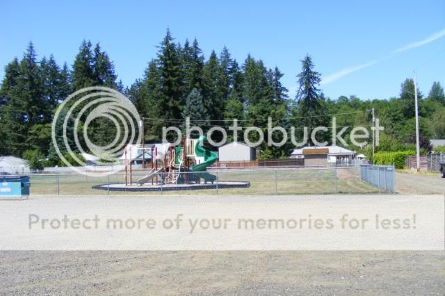
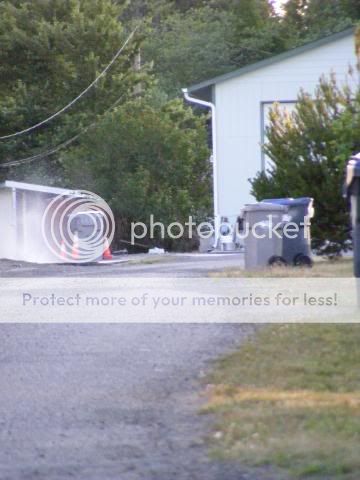
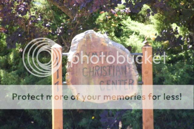
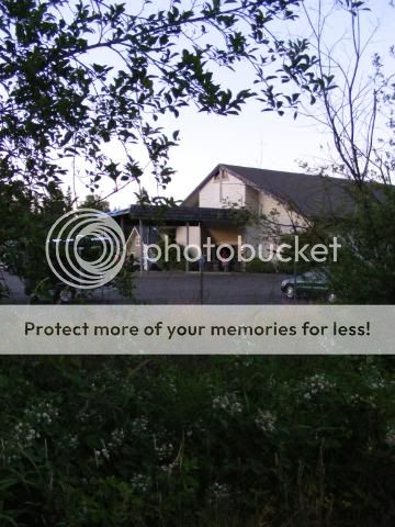
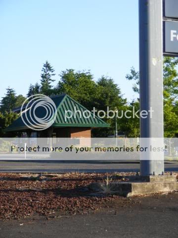
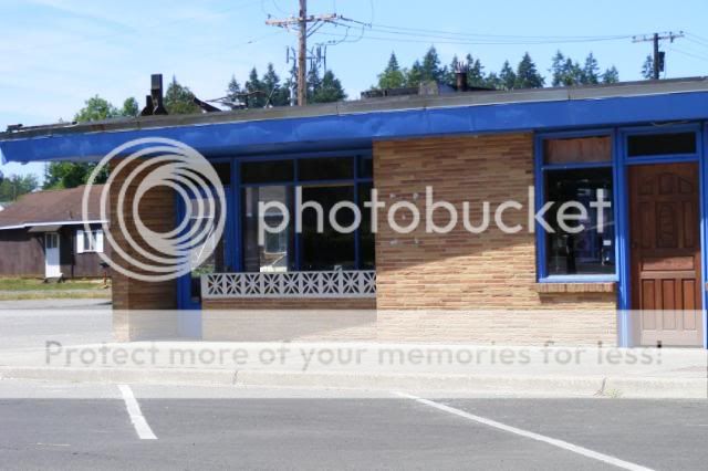
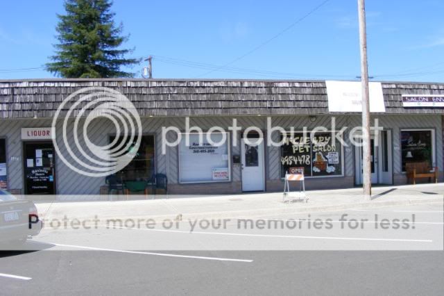
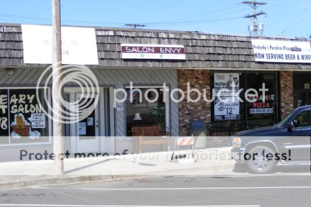
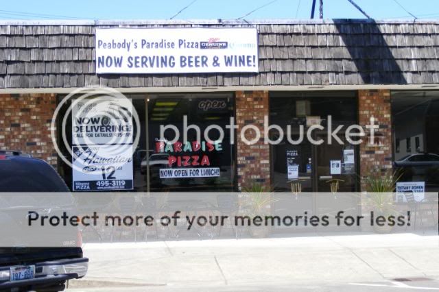
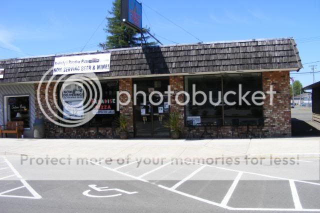
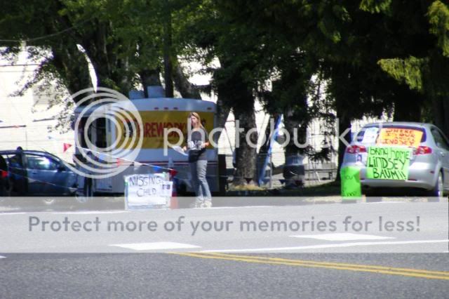
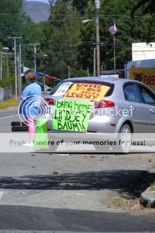
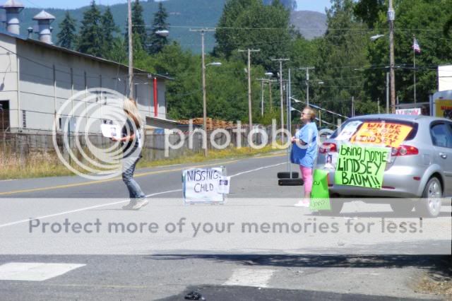
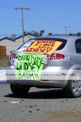
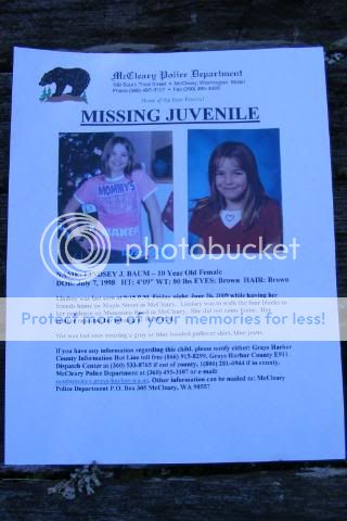
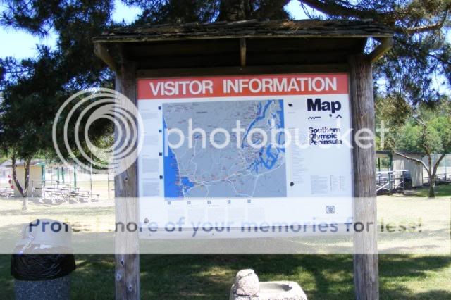
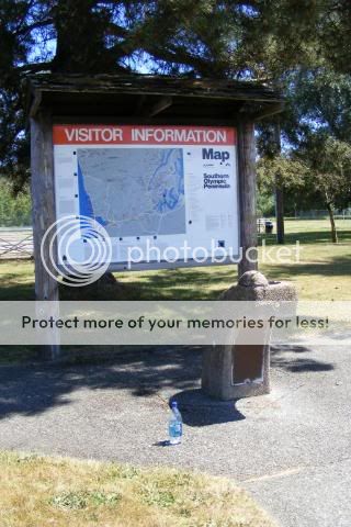
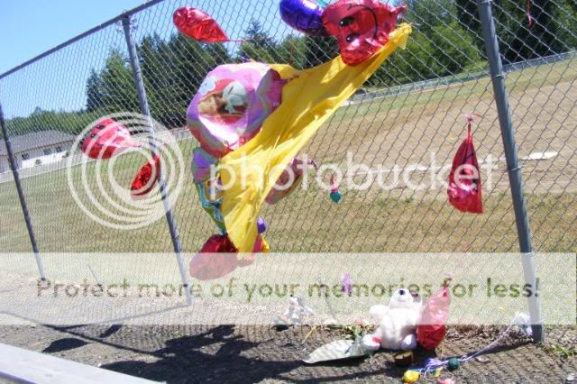
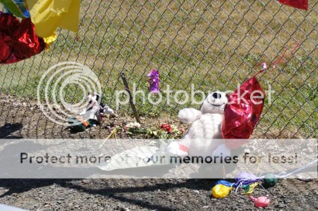
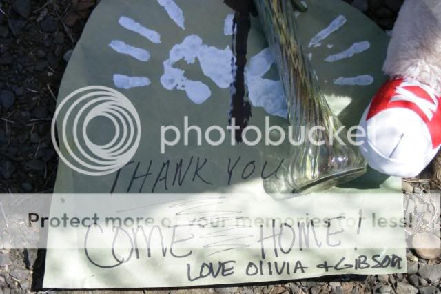
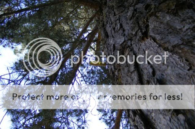
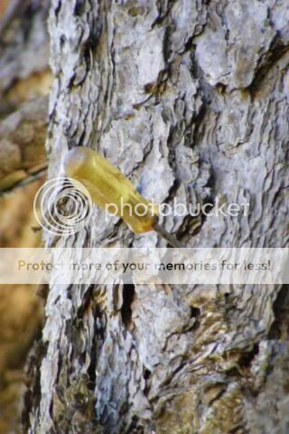
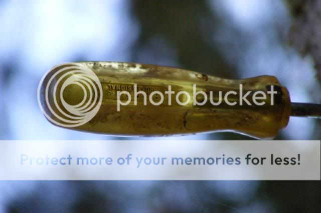
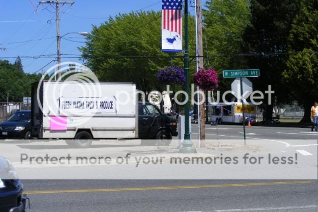
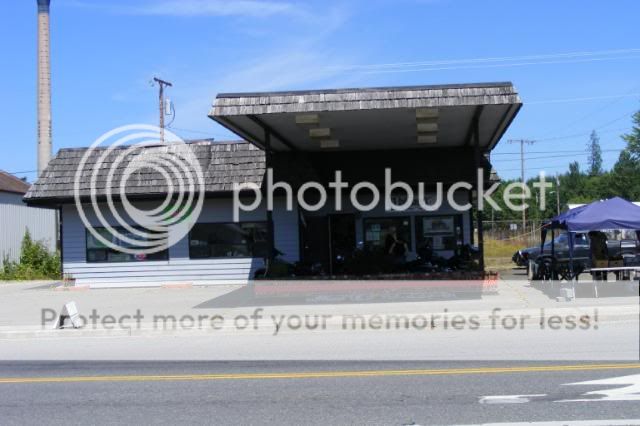
Some pics of the area where she disappeared.

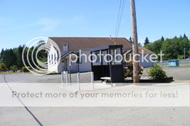
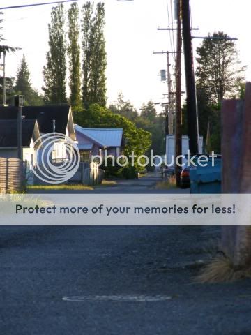
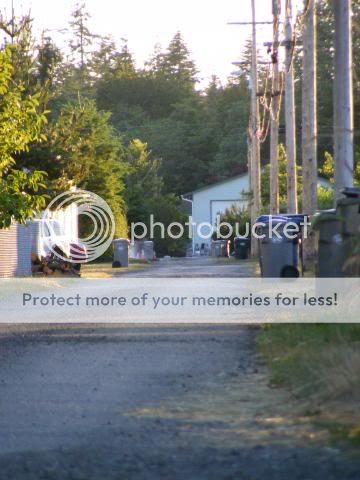
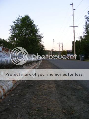
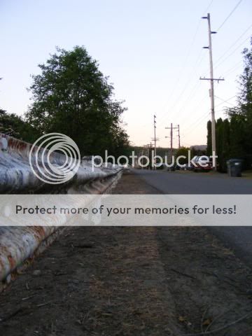
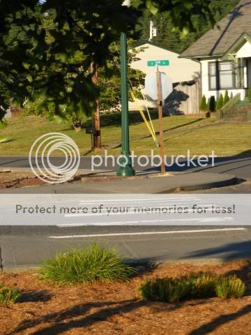
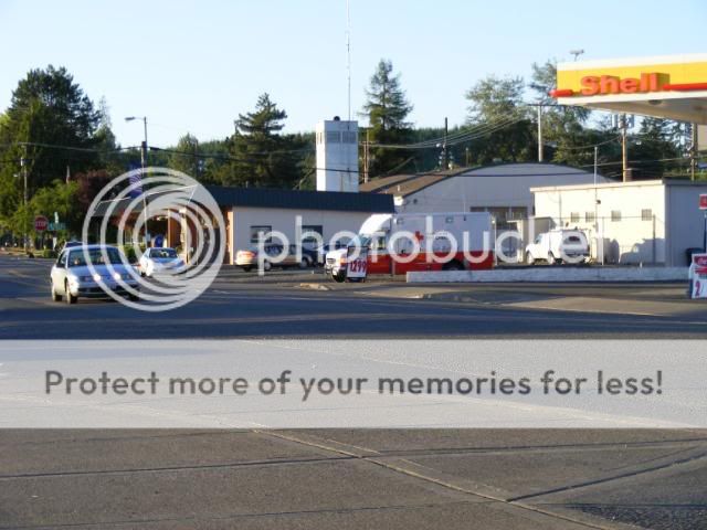
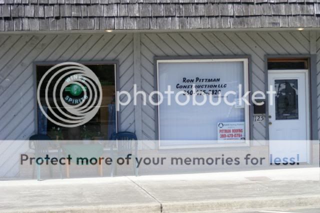
"Looking west near 7th and Maple" (That would be the direction she was coming from.)

http://www.city-data.com/picfilesv/picv31511.php


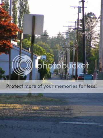
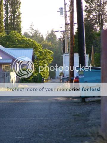
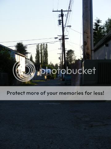
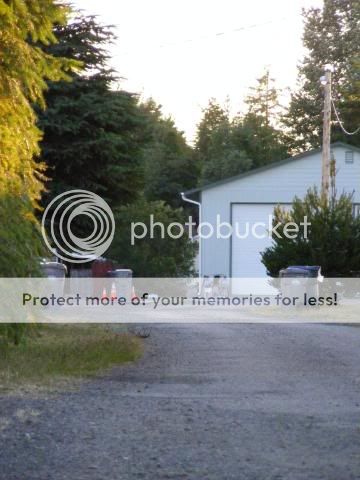
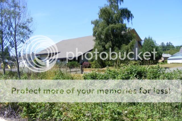
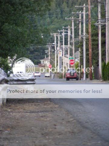
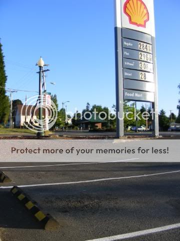
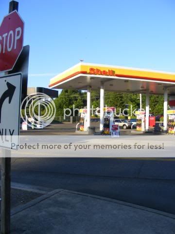
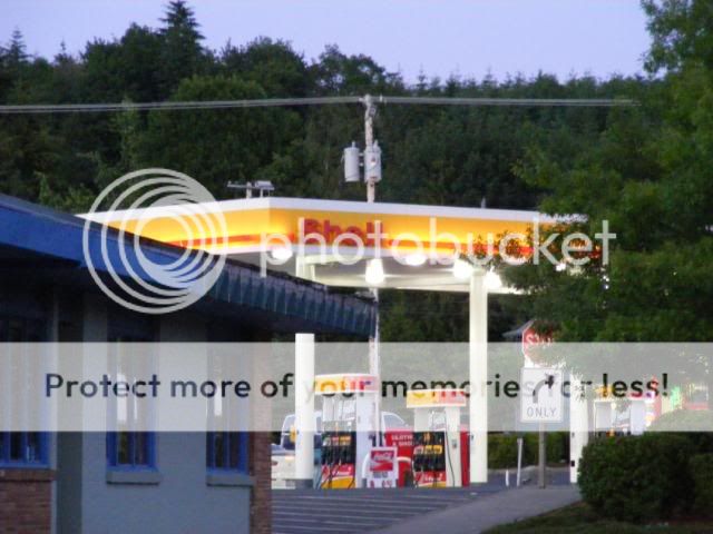
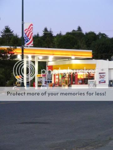
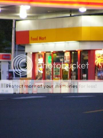
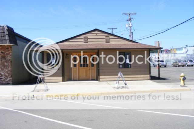
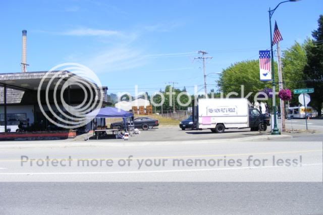
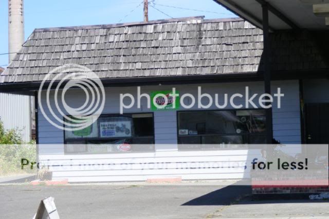
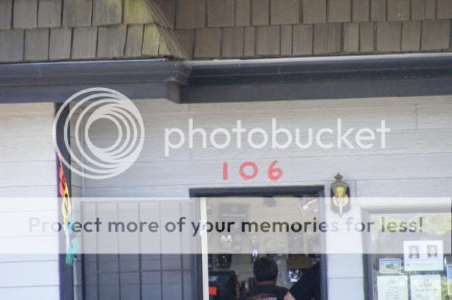
I had thought about posting this picture (found it online too) because i believe that is the shell gas station at the end of the road there. However I'm not 100% that would've been her route.

I have been to this gas station several times but it's been about 6+ months.

I should probably drive back out there just to be sure but here's some (probably useless) info that i recall

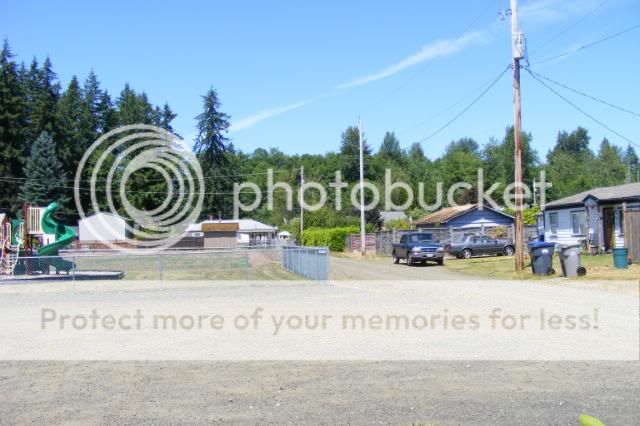
I recall the Shell station not being a direct shot off the highway.

I don't think most people passing through (on the hwy, heading west) looking for gas would stop in McCleary. You can't see it off the hwy & it involves 2 stops & turns. I wouldn't say the exit/entrance 'grabs people.

I'm not sure about heading east. But i suspect it'd involve at least that ^. (+going over hwy)

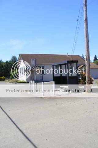
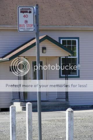
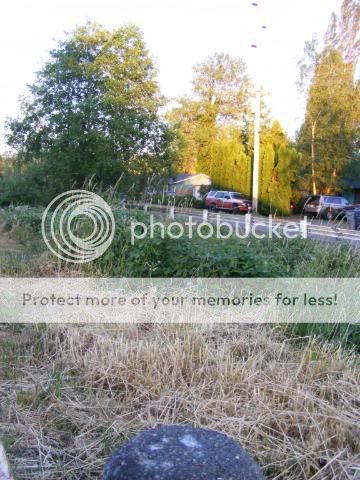
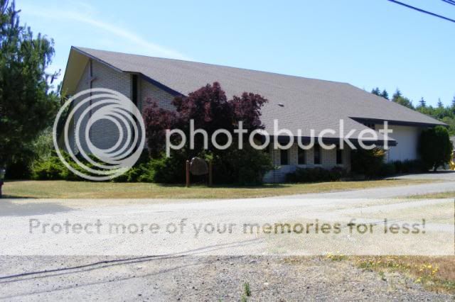
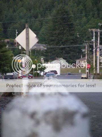
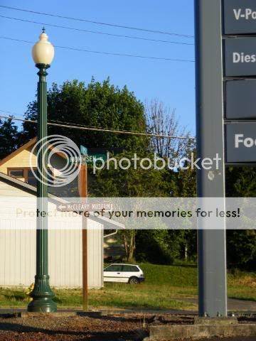
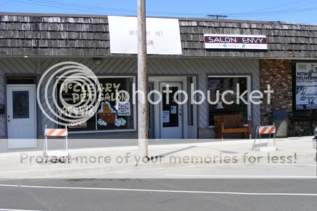
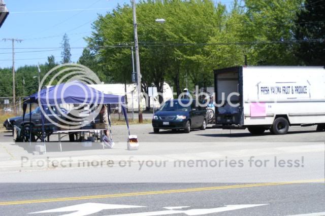
I recall the bus station being pretty much a stones throw from the Shell station.

I think it is just a local transit station. I believe if the child had gotten on a bus a driver (or some one else on the bus) would've popped up. Not to rule out anyone involved with the bus station though. Some one might want to see if they can pull up the actual drop off schedule.

I have walked from that Shell station to the bus station (& beyond) during a prior 'event' (
phelps family
Westboro_Baptist_Church threatened to show up, didn't happen)

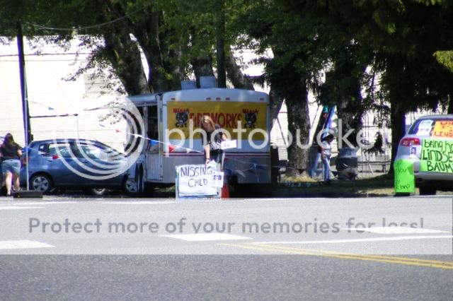
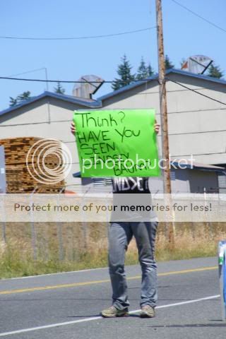
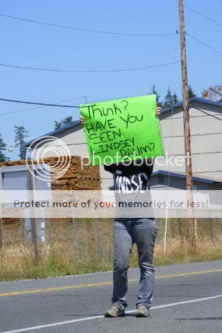
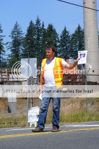
I thought about attending the vigil last night but after watching videos & reading here i think posters may (careful emphasis) have pointed out some legitimate (fishy) things.

I have read (i think) most but not all of this thread & touched off/on w/monkeys & insession. Fairly informed but not 'all in'.

The brother w/the fishing pole thing kind of bothered me. Was he seriously just fishing somewhere? If so where & who (if anyone) was with him? Any additional information on him or his fishin' ?

When i was last in McCleary to (photo) the prior 'event' (which didn't happen) i was actually harassed by a McCleary LEO. So at the moment, i'm not terribly a fan of them.

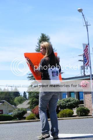
Not a 'journalist but i do sometimes show up to protests/events take photos & post online. Thought about heading out there.
Again, JVK is a fantastic poster who we really appreciate! Kudos, JVK~


Former Mccleary Boy Scout Hall
Built 1946 by Local Volunteers

(on Simpson)

DSCF2215.jpg


DSCF2216.jpg


DSCF2217.jpg


DSCF2218.jpg


DSCF2219.jpg


DSCF2220.jpg


DSCF2221.jpg


DSCF2222.jpg


DSCF2224.jpg


Thank you SO MUCH for these photos! The ability to "see" the area is a true blessing! :blowkiss:


10th St / W Simpson Alley

DSCF2036.jpg


DSCF2040.jpg


DSCF2047.jpg


DSCF2048.jpg


DSCF2049.jpg


DSCF2050.jpg


DSCF2051.jpg


DSCF2053.jpg


DSCF2054.jpg


DSCF2055.jpg


DSCF2056.jpg


DSCF2057.jpg


DSCF2059.jpg


DSCF2063.jpg


DSCF2064.jpg


DSCF2065.jpg


DSCF2070.jpg


DSCF2071.jpg


DSCF2072.jpg


DSCF2074.jpg


10th St / W Simpson Alley (cont.)


DSCF2075.jpg


DSCF2076.jpg


DSCF2077.jpg


DSCF2078.jpg


DSCF2079.jpg


'Other Side of the Rail'

(Looking @ Maple)
(Nearly in Church (Olympic Christian Center) Parking Lot)

DSCF2084.jpg


DSCF2085.jpg


DSCF2086.jpg


DSCF2087.jpg


Olympic Christian Center

DSCF2189.jpg


DSCF2228.jpg


DSCF2190.jpg


DSCF2150.jpg


DSCF2151.jpg


Down the Rail on Maple

DSCF2156.jpg


DSCF2155.jpg


DSCF2160.jpg


DSCF2163.jpg


DSCF2164.jpg


DSCF2166.jpg


DSCF2167.jpg


DSCF2170.jpg


That alley is a bit creepy & i was drawn to it quickly.

When brought up on maps +/-online it is either not drawn out well, not drawn through, missing a name, named 10th or W Simpson Alley.

There's basically no (physical) (10th st) posts except for @ the very end of it (iirc) - Which swings to the right & back onto Simpson.

It runs between Maple & W Simpson Ave

http://img377.imageshack.us/img377/3284/newmap04.png

^- As you can see in this map, no name at all.
 
That alley is a bit creepy & i was drawn to it quickly.

When brought up on maps +/-online it is either not drawn out well, not drawn through, missing a name, named 10th or W Simpson Alley.

There's also basically no (physical) posts except for @ the very end of it (iirc) - for '10th' - Which swings to the right & back onto Simpson.

It runs between Maple & W Simpson Ave

http://img377.imageshack.us/img377/3284/newmap04.png

^- As you can see in this map, no name at all.

Ooops! I pulled my comment on the creepy alley cuz I wasn't sure if I was supposed to comment on this thread, or if it is just for pics!

I was looking at the map and it seems the alley wasn't a direct route home...Am I looking at that correctly?
 
thank you so much for these pics!


Shell Gas Station/Bus Station/Cross Walk

(on 3rd, Near Maple & 3rd & Near (beginning of) Mommsen)

DSCF2008.jpg


DSCF2009.jpg


DSCF2012.jpg


DSCF2016.jpg


DSCF2018.jpg


DSCF2020.jpg


DSCF2021.jpg


DSCF2027.jpg


DSCF2031.jpg


DSCF2033.jpg


DSCF2034.jpg


DSCF2215.jpg


DSCF2216.jpg


DSCF2221.jpg


DSCF2223.jpg


Small Business strip on other side of 3rd

DSCF2004.jpg


DSCF2005.jpg


Pretty sure this blue/trim brick building ^ used to be a restaurant

DSCF2006.jpg


DSCF2007.jpg


DSCF2009.jpg


DSCF2010.jpg


DSCF2011.jpg


DSCF2012.jpg


DSCF2013.jpg


DSCF2017.jpg


DSCF2018.jpg


DSCF2019.jpg


DSCF2021.jpg


DSCF2022.jpg


DSCF2024.jpg


DSCF2026.jpg


DSCF2028.jpg


From behind the Shell station my laptop found a 'Paradise Pizza' wifi connection, i went into the restaurant & asked a lady if i could use their wifi. (it was secured) She said she wasn't sure & to wait 15min for her husband. I said i'd be back .. but i didn't come back (found wifi elsewhere)

DSCF2030.jpg


DSCF2033.jpg


DSCF2041.jpg


On 3rd & near Simpson

DSCF2047.jpg


DSCF2048.jpg


DSCF2053.jpg


DSCF2054.jpg


DSCF2056.jpg


DSCF2057.jpg


DSCF2058.jpg


DSCF2060.jpg


DSCF2061.jpg


DSCF2062.jpg


DSCF2059.jpg


DSCF2055.jpg


DSCF2063.jpg


DSCF2064.jpg


DSCF2080.jpg


DSCF2081.jpg


DSCF2068.jpg


DSCF2067.jpg


DSCF2066.jpg


.. Where the Vigil was Held ..

DSCF2071.jpg


DSCF2070.jpg


DSCF2073.jpg


.. bit eerie

& then..

DSCF2082.jpg


DSCF2088.jpg


DSCF2079.jpg


DSCF2087.jpg


.. a screw driver stuck in a tree (right behind visitor map) ~7ft up


Simpson & 3rd.
Pretty sure the bank is right behind me.

DSCF2093.jpg


DSCF2092.jpg


DSCF2098.jpg


DSCF2094.jpg


DSCF2095.jpg


DSCF2096.jpg


DSCF2097.jpg


Could you please post the photos of the bridge and also of the City Hall/Police Department? Thanks!!
 

Staff online

Members online

Online statistics

Members online
234
Guests online
3,906
Total visitors
4,140

Forum statistics

Threads
591,568
Messages
17,955,208
Members
228,539
Latest member
Sugarheart27
Back
Top