wendybtn
Well-Known Member
- Joined
- Aug 13, 2014
- Messages
- 5,836
- Reaction score
- 4,966

خرائط Google
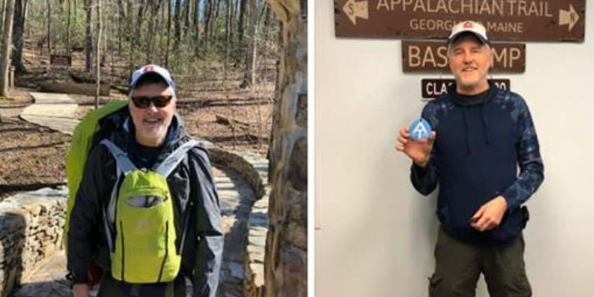
This is confusing. You can see from the map here that where his phone last pinged is not real close to Springer MT, which is where the southern trailhead (terminus) of the AT is located. Did he actually start the hike?
Thanks....Yes I know that there is an approach trail of about 8 miles I believe. . The map and address just made it look like he was still in town somewhere, according to his phone. Maybe I misunderstood or misread.From the article: "Authorities believe he is on or near the Appalachian Trail approach trail somewhere in Dawson County, but say it is possible he wandered off the trail and into surrounding National Forest or Park property."
The AT starts at the top of Springer Mountain, so you have to get to the top first. There's a road, but many people hike. Chattahoochee-Oconee National Forests - Springer Mountain Trailhead
Thanks....Yes I know that there is an approach trail of about 8 miles I believe. . The map and address just made it look like he was still in town somewhere, according to his phone. Maybe I misunderstood or misread.
I also know the approach and the beginning of the AT at Springer Mt is fairly strenuous. Though, if he had plans to thru hike, then he would likely be in good physical and mental shape....
Mainly I hope he's ok.
Agree with you. It is confusing. Also, if he started out on Friday, I'd think he would have reached the Springer Mt trailhead by Sunday. Maybe he became lost before he reached it.Oh, I see what you mean. I guess I was guilty of an unconsidered assumption that as with many mountain areas, everything pings off just one or two towers, so you can be quite a distance away. The trailhead at Amicalola Falls SP is about three or four miles away, so I took it to mean just that he hadn't gone very far before he ran into trouble.
But that's a lot of assuming on my part.
Upper 40’s in that area tonight.Is it warm at night there?
Starting on Fri, he should have reached the trailhead in 4-6 hrs. It’s really hard to get lost- white blazes on tree bark, rocks & paths. There are at least 3 shelters near the trailhead. 1 right before, 1 right after & a 3rd a bit beyond that. You’d have to be having a medical condition to get disoriented imo. Dehydration shouldn’t be an issue this time of year. Puddles, streams, springs & rain.Agree with you. It is confusing. Also, if he started out on Friday, I'd think he would have reached the Springer Mt trailhead by Sunday. Maybe he became lost before he reached it.
Seems he must have contacted family first and they suggested he call 911.
Exactly. Though there was a missing hiker case here a few years back where the person got off the trail and never found her way back. Those white blazes can be missed. I've done parts of the trail and have had to look hard for the next one from time to time.Starting on Fri, he should have reached the trailhead in 4-6 hrs. It’s really hard to get lost- white blazes on tree bark, rocks & paths. There are at least 3 shelters near the trailhead. 1 right before, 1 right after & a 3rd a bit beyond that. You’d have to be having a medical condition to get disoriented imo. Dehydration shouldn’t be an issue this time of year. Puddles, streams, springs & rain.
My fam elected to do the AT for a 3 week summer vacation 4 yrs ago. We were the slowest ppl on the trail lol. Of course we didn’t get far in 3 weeks, but the only GA section that got confusing was the stretch before Neel Gap. Blazes were farther apart & torrential rain & crashing lightning didn’t help. I’m thinking this must be medical- stroke, blood sugar, blood pressure? Idk, but I hope Eddie is ok! I don’t recommend AT for solo hiking for anyone.Exactly. Though there was a missing hiker case here a few years back where the person got off the trail and never found her way back. Those white blazes can be missed. I've done parts of the trail and have had to look hard for the next one from time to time.
And I agree with you - Friday to Sunday and he didn't get very far.