Via Marple
Date, date, date!
- Joined
- Jan 1, 2018
- Messages
- 1,297
- Reaction score
- 7,967
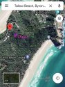
I am very sure this area (pictured below, on Daily Mail) had been searched by volunteers last year. And unlikely to miss an entire skeleton.
Does anyone know where Theas camp was where her body was found? Was it up near cosy corner or further back south beyond the car park where he came out onto the beach from the scrub. Also remember where they came out of the scrub there was an abandoned camp.
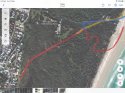
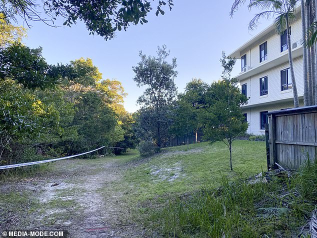
My guessimate is here as roughly marked in my map below. The red location pin is where I guess is the white building in the Daily Mail photo - apparently the slope to the left was roped off by police.
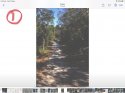
I was walking right along the path behind that building in Aug 2019. There was no sign of skeletal remains at the time...
MOO and I welcome someone to provide more accurate info!