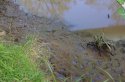
This is where I ended up.
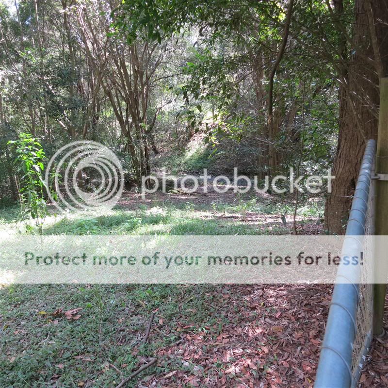
It was under the service road that runs along Mount Crosby Road.
Technically on someones land I believe, but I didn't feel like walking back through the lantana to get back to my car.
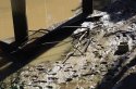
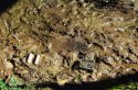
1 - What appeared to be signs of plaster spillage. Maybe not, but there were 2-3 spots of it around here.
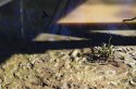
2 - Three large pipes that run under this trail. They run down a short creek to Little Ugly Creek. The road from the small clearing off Wirrabara Road easily leads here.
3 - middle pipe
4 - right pipe
5 - left pipe
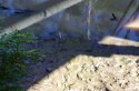
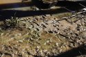
Oh, and to give you a point of reference. The pipes are in this photo.
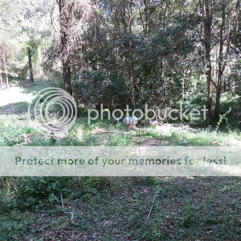
See the large tree about 1/4 the way in from the left (runs from the top of the photo to about the middle), just off to the left of it there is a dark spot right near where the sun is shining on the grass. That is where the pipes are.
Technically I think it's on someones land, but the road is a service road that goes to the back of this photo and along Mount Crosby Road.
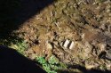
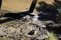
Down there in the creek is where I found the SES tape leading the way.


")