WingsOverTX
Former Member
- Joined
- Mar 19, 2022
- Messages
- 2,974
- Reaction score
- 25,980
RBBMI've been on the Stampede Road for various reasons including during the middle of the night for aurora viewing and also during the the day. Even at 3am the occasional vehicle would go by headed away from the Parks Hwy. from where I was parked going who knows where. To be honest I've driven the road for quite a distance including up to where the road turns into a trail but never really paid attention to the mile markers. I will be in the area again mid September and will drive the road and find the 6.8 mile mark where Mary's car was found. Will also take some photos and post here if allowed.
It's a dead end with one way in & one way out so the destination isn't an open question unless they park at the end of the dirt & walk into the wilderness in the shadow of Denali, right?
This is the question I continue to have. Say, the most wilderness I have ever experienced is on trail at Rocky Mountain National Park, am I prepared for a sojourn to the terminus of Stampede if I have a Jeep & a daypack to see the sights & hike a couple of hours. Or am I risking my life? I read that people trying to reach the Magic Bus (no longer there) had to cross rivers to do so. Some died.
So much discussion here seems focused on this being a normal place to drive with a toddler in a Ford sedan. What say you? I have looked at this road on Google Earth. No gas stations, no food destinations & more remote from anything resembling services the farther you go.
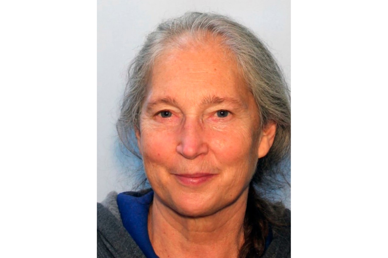
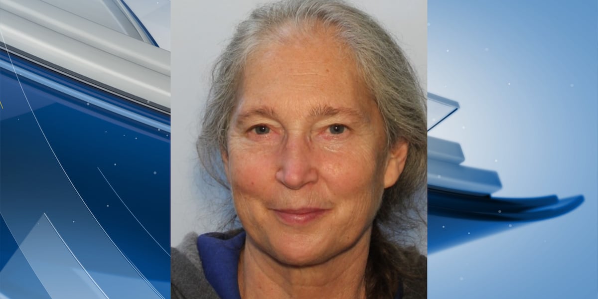
And yet Mary went. And is likely still out there, sadly.
JMO
Last edited: