PayrollNerd
Well-Known Member
- Joined
- Feb 3, 2018
- Messages
- 17,747
- Reaction score
- 104,341
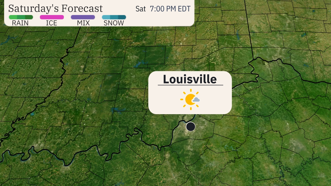
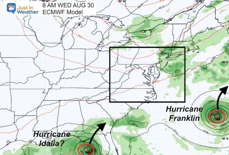
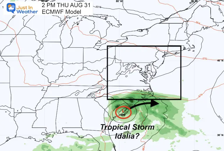
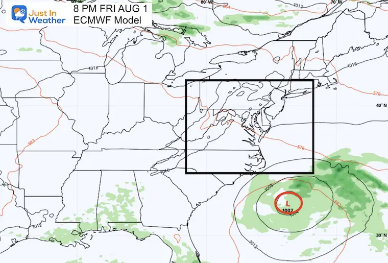
We finally have rain in the SWFL forecast! Hopefully the wind will be minimal and our water table will rise.

 weather.com
National and Local Weather Radar, Daily Forecast, Hurricane and information from The Weather Channel and weather.com
The Weather Channel and weather.com provide a national and local weather forecast for cities, as well as weather radar, report and hurricane coverage