Dotta
Well-Known Member
- Joined
- Jan 23, 2021
- Messages
- 10,422
- Reaction score
- 62,817
IMO
The little boy wandered off, got lost near the stream and was not found by the searchers.
The more info comes out,
the more convinced I am it was a tragic accident.
Not foul play.
He was such a beautiful child.
RIP sweet Angel.
Condolences to Family


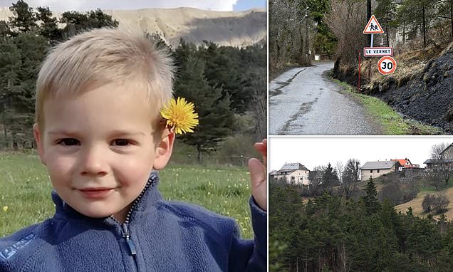
Picture from DM link I posted above.
The little boy wandered off, got lost near the stream and was not found by the searchers.
The more info comes out,
the more convinced I am it was a tragic accident.
Not foul play.
He was such a beautiful child.
RIP sweet Angel.
Condolences to Family
Picture from DM link I posted above.