I am unsure who LE have interviewed, if they did or did not speak to anyone from the synagogue, what time would the services end at a synagogue?
We may also want to keep in mind the bodies were found long after the deaths close to 3 days were already lost to investigate anything.
One thing I was looking for was a pathway from the Synagogue (Temple Emanu-El) to that would shorten the walking distance to Ballantyne Drive, where we have video of the WM. I did not see anything like that. However one may have existed to Vyner Rd.
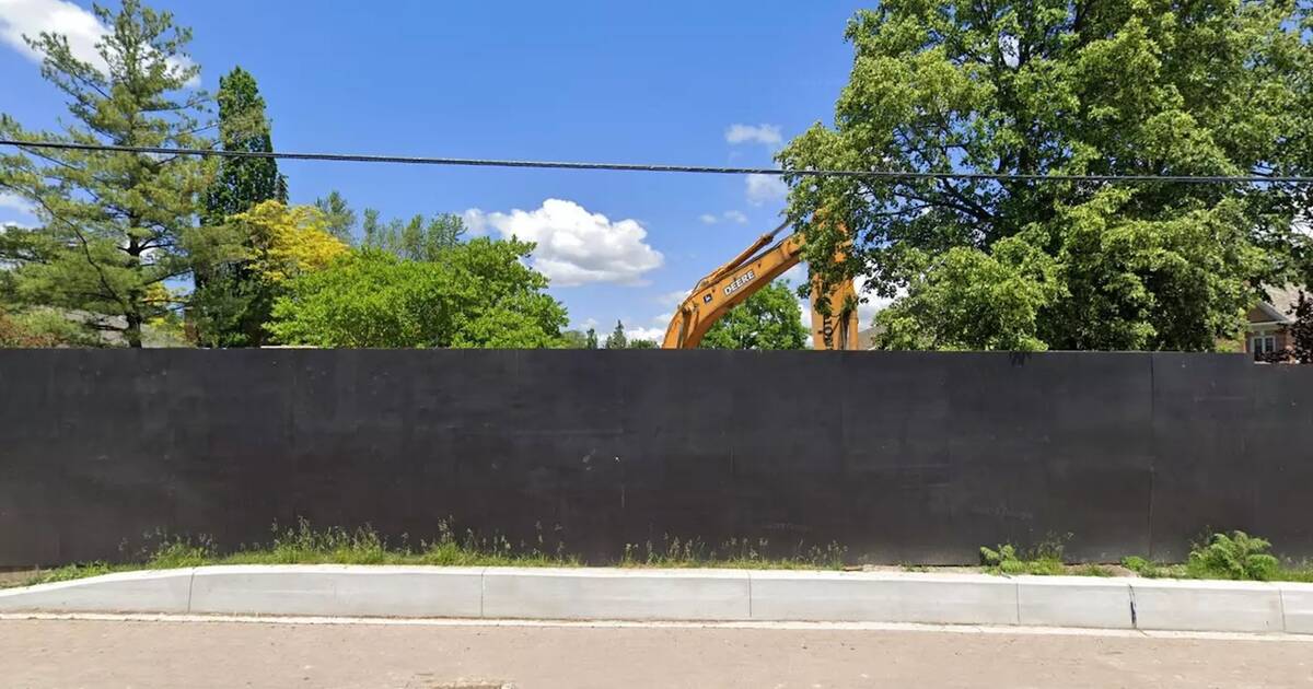
Please note I never left my car to walk around, because it appeared that most properties in the area, have No-Trespassing signs, and numerous cameras, and I was not interested in a confrontation with a security person. Totally understandable why there exist heightened precautions in the community.
Yes, absolutely lalager, If I was braver, I could have found a short cut through the rear parking lot of the Temple, onto Vyner Rd. One spot looked promising was at the north end of the east parking area of the Temple. However, I was not dressed for exploring, and there was snow piled and dumpsters that appeared to block passage. From an aerial photo, it appears there is a sidewalk that goes from the Temple to Vyner Rd.Is it such a long walk if you cut through at the end of old colony to get to Bannantyne via Swansdown Dr instead of walking only onthe streets? It seems based on the diagram that this would be a much more direct route.
Based on those aerial photos the Walking Man could have gone from Old Colony, to the Temple parking lot, and then followed the sidewalk to Vyner then to Ballantyne.
Alternatively there are hiking trails, in the green space behind the the Temple, called the Vyner Greenbelt. Walking on these trails, the WM would have avoided many cameras on Vyner Rd. properties. If there is no video of the WM on Vyner, then he probably accessed the hiking trails.
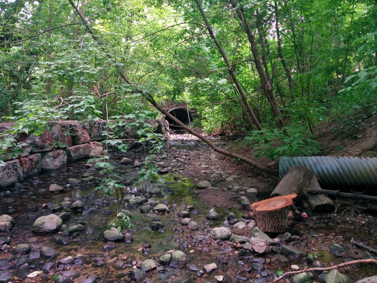
2018/07/13 – East Don II
Documenting two partially lost tributaries of the East Don River in North York.
MOO.
.
Last edited: