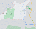
Hi pkwis .... this is what has been reported about RP's car movements (with accompanying CCTV pics).
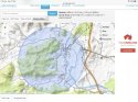
William disappeared on Sept 12th.
A recent document says in the two days after William vanished, Porter's car was recorded passing the Kew southbound camera on the morning of September 13, 2014, and the north- and south-bound cameras at Port Macquarie, the next day.
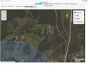
Significantly, investigators have also obtained evidence placing Porter at Port Macquarie Hospital the day William was last seen in the foster nanna's yard.
An undated police note signed by Detective Senior Constable Ari Barr said: 'Hospital records show that on the 12th September 2014, Porter was at dialysis at Port Macquarie Hospital between 9am and 3pm.
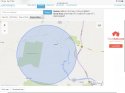
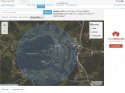
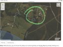
Porter's car wasn't picked up by highway cameras between his Wauchope home and the hospital that critical day.
But detectives suggested Porter had likely just used an alternative route, the Oxley Highway, to attend his clinic.
William Tyrrell abduction: Probe after dying man's confession | Daily Mail Online